Muddy path beside the Craigdhu Burn
Introduction
The photograph on this page of Muddy path beside the Craigdhu Burn by Richard Sutcliffe as part of the Geograph project.
The Geograph project started in 2005 with the aim of publishing, organising and preserving representative images for every square kilometre of Great Britain, Ireland and the Isle of Man.

There are currently over 7.5m images from over 14,400 individuals and you can help contribute to the project by visiting https://www.geograph.org.uk
Muddy path beside the Craigdhu Burn
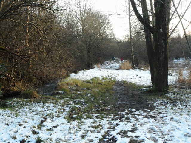
Image: © Richard Sutcliffe Taken: 7 Jan 2022
This path is a 'desire line' running beside the burn, through the Craigdhu Wedge. It is often muddy, and the overnight snow hasn't helped. Drips from melting snow from the canopy of a large tree have melted the snow beneath it and made the path a bit worse here.
Images are licensed for reuse under creativecommons.org/licenses/by-sa/2.0
Image Location
Latitude
55.933436
Longitude
-4.327476