Hutton Wandesley
Introduction
The photograph on this page of Hutton Wandesley by Gordon Hatton as part of the Geograph project.
The Geograph project started in 2005 with the aim of publishing, organising and preserving representative images for every square kilometre of Great Britain, Ireland and the Isle of Man.

There are currently over 7.5m images from over 14,400 individuals and you can help contribute to the project by visiting https://www.geograph.org.uk
Hutton Wandesley
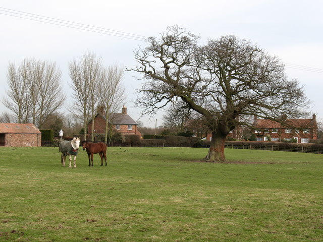
Image: © Gordon Hatton Taken: 25 Feb 2008
The hamlet of Hutton Wandesley is a continuation of Long Marston along the road towards Askham Richard. This field is at the centre of the settlement which comprises mostly brick built houses.
Images are licensed for reuse under creativecommons.org/licenses/by-sa/2.0
Image Location
Latitude
53.949475
Longitude
-1.228978