Cleveland Street, Taunton
Introduction
The photograph on this page of Cleveland Street, Taunton by Stephen Craven as part of the Geograph project.
The Geograph project started in 2005 with the aim of publishing, organising and preserving representative images for every square kilometre of Great Britain, Ireland and the Isle of Man.

There are currently over 7.5m images from over 14,400 individuals and you can help contribute to the project by visiting https://www.geograph.org.uk
Cleveland Street, Taunton
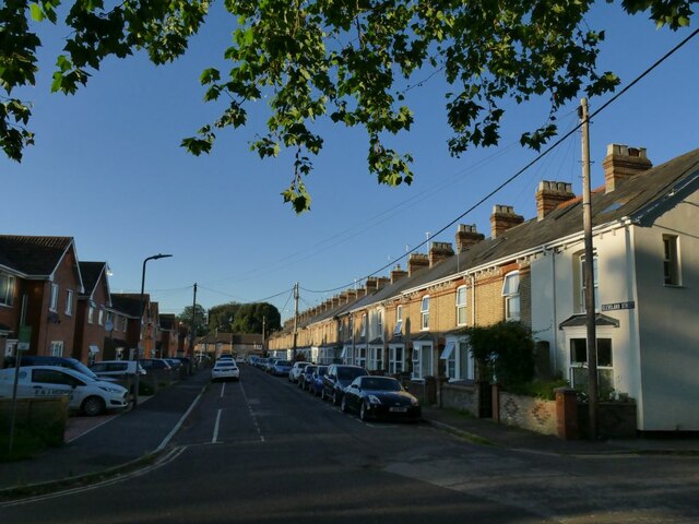
Image: © Stephen Craven Taken: 15 Jul 2021
One of several streets of terraced houses north of the river. This is not far from the railway station, so the term 'railway terraces' might not be inappropriate. The houses on the left (west) side are more modern.
Images are licensed for reuse under creativecommons.org/licenses/by-sa/2.0
Image Location


Leaflet Map data © OpenStreetMap
Latitude
51.017296
Longitude
-3.110084