Riverside path below French Weir, Taunton
Introduction
The photograph on this page of Riverside path below French Weir, Taunton by Stephen Craven as part of the Geograph project.
The Geograph project started in 2005 with the aim of publishing, organising and preserving representative images for every square kilometre of Great Britain, Ireland and the Isle of Man.

There are currently over 7.5m images from over 14,400 individuals and you can help contribute to the project by visiting https://www.geograph.org.uk
Riverside path below French Weir, Taunton
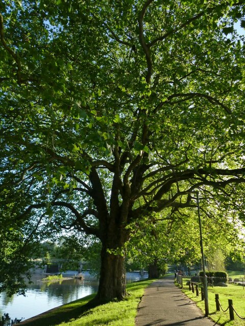
Image: © Stephen Craven Taken: 15 Jul 2021
A fine place for a summer evening stroll.
Images are licensed for reuse under creativecommons.org/licenses/by-sa/2.0
Image Location
Latitude
51.017111
Longitude
-3.11065