The old Sunday School
Introduction
The photograph on this page of The old Sunday School by Neil Owen as part of the Geograph project.
The Geograph project started in 2005 with the aim of publishing, organising and preserving representative images for every square kilometre of Great Britain, Ireland and the Isle of Man.

There are currently over 7.5m images from over 14,400 individuals and you can help contribute to the project by visiting https://www.geograph.org.uk
The old Sunday School
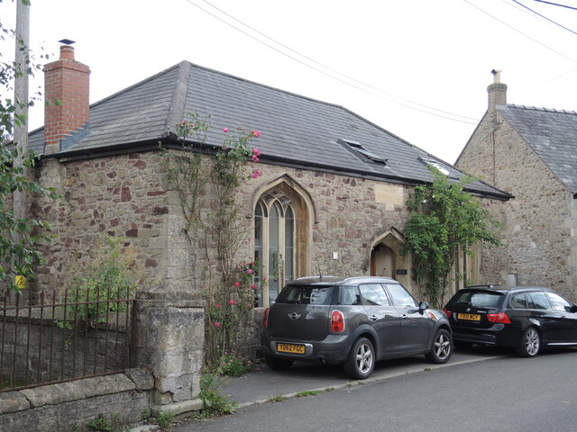
Image: © Neil Owen Taken: 4 Aug 2021
Coleford school, built 1843, next to the Wesleyan Methodist church. It is now a private residence.
Images are licensed for reuse under creativecommons.org/licenses/by-sa/2.0
Image Location
Latitude
51.237968
Longitude
-2.449014