The end of High Street
Introduction
The photograph on this page of The end of High Street by Neil Owen as part of the Geograph project.
The Geograph project started in 2005 with the aim of publishing, organising and preserving representative images for every square kilometre of Great Britain, Ireland and the Isle of Man.

There are currently over 7.5m images from over 14,400 individuals and you can help contribute to the project by visiting https://www.geograph.org.uk
The end of High Street
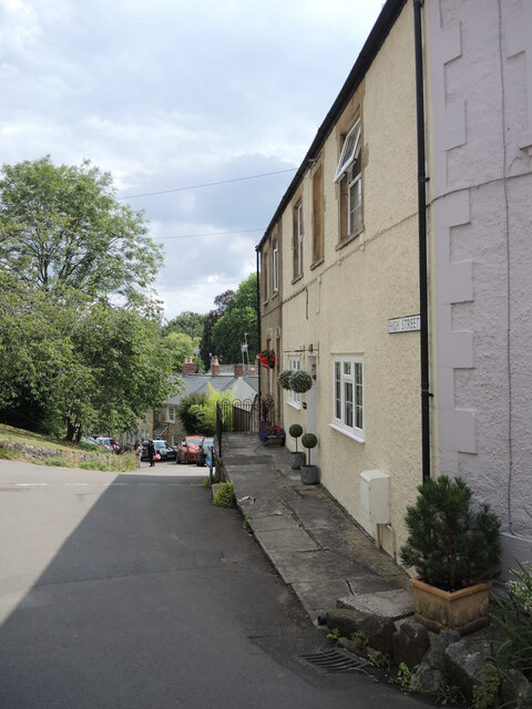
Image: © Neil Owen Taken: 4 Aug 2021
The street meets the steep hairpin of Church Road. On the house to the right of shot is an old benchmark - see Image
Images are licensed for reuse under creativecommons.org/licenses/by-sa/2.0
Image Location


Leaflet Map data © OpenStreetMap
Latitude
51.236794
Longitude
-2.450291