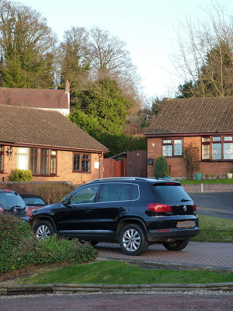
Uphill on the (probable) route of the Ketley Incline
Introduction
The photograph on this page of Uphill on the (probable) route of the Ketley Incline by Richard Law as part of the Geograph project.
The Geograph project started in 2005 with the aim of publishing, organising and preserving representative images for every square kilometre of Great Britain, Ireland and the Isle of Man.
There are currently over 7.5m images from over 14,400 individuals and you can help contribute to the project by visiting https://www.geograph.org.uk

Image: © Richard Law Taken: 1 Jan 2022
The cars & nearest houses here are on Woodside Close, whilst the white house beyond is Hillside Farm, and dates from around 1800. The centre-line of the photo follows, as closely as I can ascertain, the line of the Ketley Incline. This was the country's first commercially-operated Inclined Plane, built around 1788 as a means of lowering tub boats from the Ketley Canal to a long-vanished foundry just to the NW of this point. The boats carried coal and ironstone to the foundry, and were lowered on L-shaped rails with a braking system managed via a windlass at the top of the plane. Nothing remains visible at ground level of the incline, all surface signs having been removed by subsequent building works over the years, although there may be some underground traces which could be found by careful archaeology. The trustees of the Blists Hill Museum have apparently shown interest in some tunnels Image that lie beneath the garden of Hillside Farm, although whether these are associated with the incline is unknown.

