Playspace, Cawnpore Street, Crystal Palace
Introduction
The photograph on this page of Playspace, Cawnpore Street, Crystal Palace by Robin Stott as part of the Geograph project.
The Geograph project started in 2005 with the aim of publishing, organising and preserving representative images for every square kilometre of Great Britain, Ireland and the Isle of Man.

There are currently over 7.5m images from over 14,400 individuals and you can help contribute to the project by visiting https://www.geograph.org.uk
Playspace, Cawnpore Street, Crystal Palace
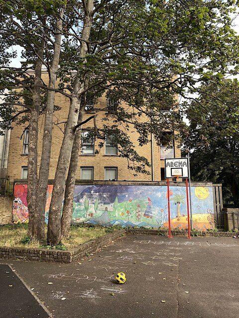
Image: © Robin Stott Taken: 5 Sep 2021
Surrounded by blocks of flats. Not very busy at 10am on a Sunday morning. Cawnpore Street runs between Gipsy Hill and Woodland Road.
Images are licensed for reuse under creativecommons.org/licenses/by-sa/2.0
Image Location
Latitude
51.422766
Longitude
-0.082482