Farmland, housing and heap near Wombourne
Introduction
The photograph on this page of Farmland, housing and heap near Wombourne by Roger Kidd as part of the Geograph project.
The Geograph project started in 2005 with the aim of publishing, organising and preserving representative images for every square kilometre of Great Britain, Ireland and the Isle of Man.

There are currently over 7.5m images from over 14,400 individuals and you can help contribute to the project by visiting https://www.geograph.org.uk
Farmland, housing and heap near Wombourne
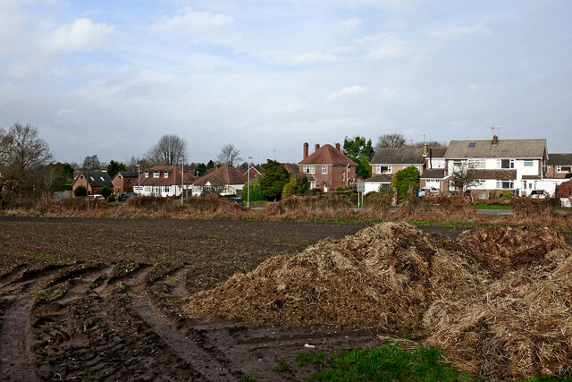
Image: © Roger Kidd Taken: 1 Jan 2022
Looking north-north-west. The housing is by the B4176 Bridgnorth Road. The heap is by Botterham Lane. Potatoes were grown here in 2021.
Images are licensed for reuse under creativecommons.org/licenses/by-sa/2.0
Image Location
Latitude
52.524448
Longitude
-2.198932