Looking down the path to Blackfyne
Introduction
The photograph on this page of Looking down the path to Blackfyne by Robert Graham as part of the Geograph project.
The Geograph project started in 2005 with the aim of publishing, organising and preserving representative images for every square kilometre of Great Britain, Ireland and the Isle of Man.

There are currently over 7.5m images from over 14,400 individuals and you can help contribute to the project by visiting https://www.geograph.org.uk
Looking down the path to Blackfyne
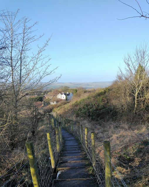
Image: © Robert Graham Taken: 1 Jan 2022
This footpath leads down the steep slope from The Promenade to Durham Road in Blackhill. The large white house at the bottom is Blackfyne, a Victorian house. It gave its name to the school which stood over the road until a few years ago.
Images are licensed for reuse under creativecommons.org/licenses/by-sa/2.0
Image Location
Latitude
54.860787
Longitude
-1.836396