York Road from the former rail bridge
Introduction
The photograph on this page of York Road from the former rail bridge by DS Pugh as part of the Geograph project.
The Geograph project started in 2005 with the aim of publishing, organising and preserving representative images for every square kilometre of Great Britain, Ireland and the Isle of Man.

There are currently over 7.5m images from over 14,400 individuals and you can help contribute to the project by visiting https://www.geograph.org.uk
York Road from the former rail bridge
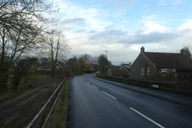
Image: © DS Pugh Taken: 30 Dec 2021
The railway is long gone, but the bridge remains.
Images are licensed for reuse under creativecommons.org/licenses/by-sa/2.0
Image Location
Latitude
53.962705
Longitude
-0.988975