River Arun
Introduction
The photograph on this page of River Arun by James Emmans as part of the Geograph project.
The Geograph project started in 2005 with the aim of publishing, organising and preserving representative images for every square kilometre of Great Britain, Ireland and the Isle of Man.

There are currently over 7.5m images from over 14,400 individuals and you can help contribute to the project by visiting https://www.geograph.org.uk
River Arun
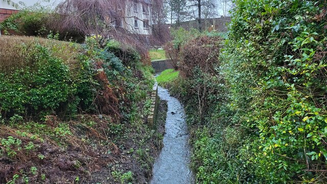
Image: © James Emmans Taken: 27 Dec 2021
Overflow stream that maybe the original River Arun route. A higher level canal was cut for the mill. River info : https://en.wikipedia.org/wiki/River_Arun
Images are licensed for reuse under creativecommons.org/licenses/by-sa/2.0
Image Location
Latitude
51.060248
Longitude
-0.333965