Coventry Canal in Atherstone, Warwickshire
Introduction
The photograph on this page of Coventry Canal in Atherstone, Warwickshire by Roger Kidd as part of the Geograph project.
The Geograph project started in 2005 with the aim of publishing, organising and preserving representative images for every square kilometre of Great Britain, Ireland and the Isle of Man.

There are currently over 7.5m images from over 14,400 individuals and you can help contribute to the project by visiting https://www.geograph.org.uk
Coventry Canal in Atherstone, Warwickshire
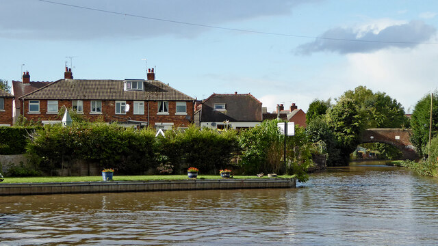
Image: © Roger Kidd Taken: 25 Sep 2016
By the winding hole, Looking north-west towards Taverners Bridge (No 40). Westwood Road Recreation Area is off to the right.
Images are licensed for reuse under creativecommons.org/licenses/by-sa/2.0
Image Location
Latitude
52.571485
Longitude
-1.546838