Skelton on Ure, converted Methodist church
Introduction
The photograph on this page of Skelton on Ure, converted Methodist church by Mel Towler as part of the Geograph project.
The Geograph project started in 2005 with the aim of publishing, organising and preserving representative images for every square kilometre of Great Britain, Ireland and the Isle of Man.

There are currently over 7.5m images from over 14,400 individuals and you can help contribute to the project by visiting https://www.geograph.org.uk
Skelton on Ure, converted Methodist church
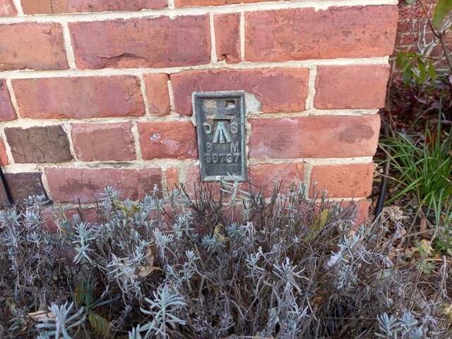
Image: © Mel Towler Taken: 20 Nov 2021
The OS Flush Bracket S6737 is embedded in the south facing wall of the converted Methodist church.
Images are licensed for reuse under creativecommons.org/licenses/by-sa/2.0
Image Location
Latitude
54.11067
Longitude
-1.449773