St.Nicholas' church, Carlton Scroop, Lincs.
Introduction
The photograph on this page of St.Nicholas' church, Carlton Scroop, Lincs. by Richard Croft as part of the Geograph project.
The Geograph project started in 2005 with the aim of publishing, organising and preserving representative images for every square kilometre of Great Britain, Ireland and the Isle of Man.

There are currently over 7.5m images from over 14,400 individuals and you can help contribute to the project by visiting https://www.geograph.org.uk
St.Nicholas' church, Carlton Scroop, Lincs.
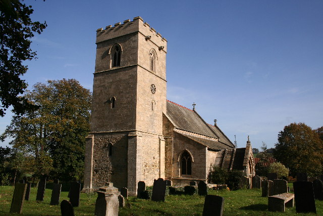
Image: © Richard Croft Taken: 26 Oct 2005
The lower part of the tower and tower arch are Norman, but the upper part is dated 1632, and inscription inside reveals that the steeple fell into the church on 14th November 1630 !
Images are licensed for reuse under creativecommons.org/licenses/by-sa/2.0
Image Location
Latitude
52.993968
Longitude
-0.59054