Gedling Access Road construction ? 251221 ? 10
Introduction
The photograph on this page of Gedling Access Road construction ? 251221 ? 10 by Alan Murray-Rust as part of the Geograph project.
The Geograph project started in 2005 with the aim of publishing, organising and preserving representative images for every square kilometre of Great Britain, Ireland and the Isle of Man.

There are currently over 7.5m images from over 14,400 individuals and you can help contribute to the project by visiting https://www.geograph.org.uk
Gedling Access Road construction ? 251221 ? 10
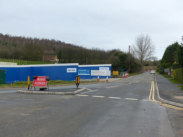
Image: © Alan Murray-Rust Taken: 25 Dec 2021
Lambley Lane at the lower junction, now a cul-de-sac serving a small number of houses.
Images are licensed for reuse under creativecommons.org/licenses/by-sa/2.0
Image Location
Latitude
52.984295
Longitude
-1.080779