Meldreth cross base
Introduction
The photograph on this page of Meldreth cross base by Ben Harris as part of the Geograph project.
The Geograph project started in 2005 with the aim of publishing, organising and preserving representative images for every square kilometre of Great Britain, Ireland and the Isle of Man.

There are currently over 7.5m images from over 14,400 individuals and you can help contribute to the project by visiting https://www.geograph.org.uk
Meldreth cross base
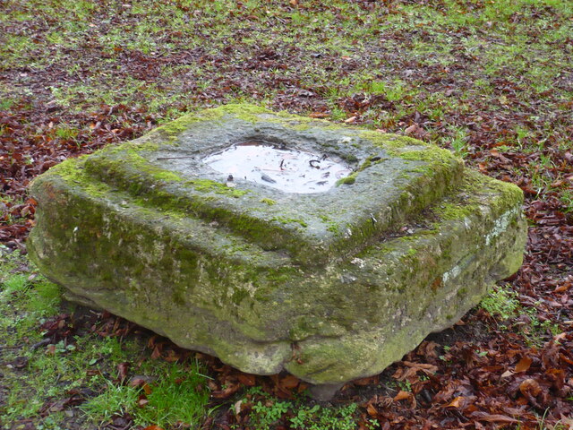
Image: © Ben Harris Taken: 18 Dec 2021
This medieval limestone cross base is on the grass triangle at the junction of Fenny Lane, High Street, and North End.
Images are licensed for reuse under creativecommons.org/licenses/by-sa/2.0
Image Location
Latitude
52.099573
Longitude
0.006273