Junction of Thirsk Road (A168) and Racecourse Lane
Introduction
The photograph on this page of Junction of Thirsk Road (A168) and Racecourse Lane by Roger Templeman as part of the Geograph project.
The Geograph project started in 2005 with the aim of publishing, organising and preserving representative images for every square kilometre of Great Britain, Ireland and the Isle of Man.

There are currently over 7.5m images from over 14,400 individuals and you can help contribute to the project by visiting https://www.geograph.org.uk
Junction of Thirsk Road (A168) and Racecourse Lane
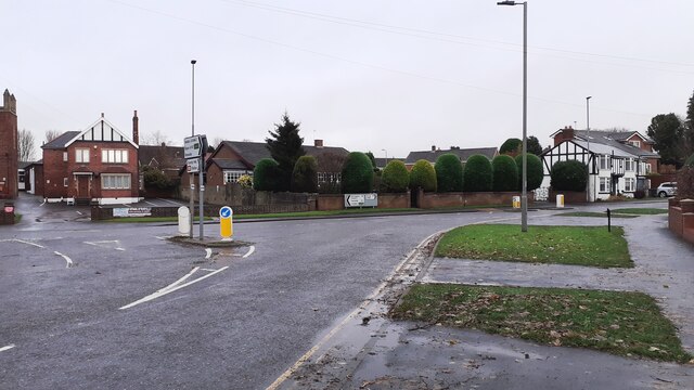
Image: © Roger Templeman Taken: 5 Dec 2021
The coach house of the former Unicorn & Turf Hotel was on the far side of the junction. Ordnance Survey records indicate that a benchmark was levelled on the building at 133.474 feet above Liverpool Datum during the 1842/5 1GL Selby to Newcastle-upon-Tyne Survey. The surveyor's description was: 'Branch Levelling from Mark No. 102. Mark on South-west corner of coach-house, at the Unicorn and Turf Hotel ; 1.43 ft. above pavement'
Images are licensed for reuse under creativecommons.org/licenses/by-sa/2.0
Image Location
Latitude
54.332851
Longitude
-1.432818