Old Oak, Cottonmill Lane
Introduction
The photograph on this page of Old Oak, Cottonmill Lane by Ian Capper as part of the Geograph project.
The Geograph project started in 2005 with the aim of publishing, organising and preserving representative images for every square kilometre of Great Britain, Ireland and the Isle of Man.

There are currently over 7.5m images from over 14,400 individuals and you can help contribute to the project by visiting https://www.geograph.org.uk
Old Oak, Cottonmill Lane
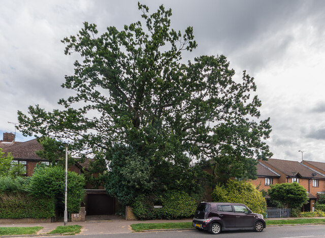
Image: © Ian Capper Taken: 5 Aug 2021
At first sight the street sign "Old Oak" might seem to refer to this tree. In fact it is the name of a small cul-de-sac built in c.1995 (see Image, the rear of some of whose houses are on the right in this photo.
Images are licensed for reuse under creativecommons.org/licenses/by-sa/2.0
Image Location
Latitude
51.738522
Longitude
-0.332049