Berners Drive
Introduction
The photograph on this page of Berners Drive by Ian Capper as part of the Geograph project.
The Geograph project started in 2005 with the aim of publishing, organising and preserving representative images for every square kilometre of Great Britain, Ireland and the Isle of Man.

There are currently over 7.5m images from over 14,400 individuals and you can help contribute to the project by visiting https://www.geograph.org.uk
Berners Drive
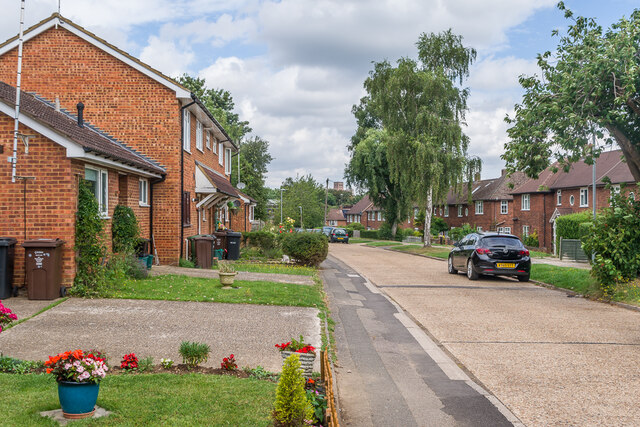
Image: © Ian Capper Taken: 5 Aug 2021
Road developed in the c.1950s along with the rest of the area off Cottomnill Lane. The houses on the right would appear to be original, but although the area on the left is shown on the 1960 1:10,000 map as having also been built up, with individual detached houses set diagonally to the road, the ones here would appear to be a substituent redevelopment, dating from the late 1970s according to planning documents. The tower of St Albans Abbey can be seen in the background.
Images are licensed for reuse under creativecommons.org/licenses/by-sa/2.0
Image Location
Latitude
51.739309
Longitude
-0.334251