Claypit, South Chailey
Introduction
The photograph on this page of Claypit, South Chailey by Simon Carey as part of the Geograph project.
The Geograph project started in 2005 with the aim of publishing, organising and preserving representative images for every square kilometre of Great Britain, Ireland and the Isle of Man.

There are currently over 7.5m images from over 14,400 individuals and you can help contribute to the project by visiting https://www.geograph.org.uk
Claypit, South Chailey
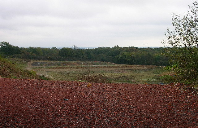
Image: © Simon Carey Taken: 26 Oct 2005
There is still a working brickworks to the west of this pit. This view looks east from the crossroads of Caveridge Lane and Green Lane. The High Weald can just be made out in the background.
Images are licensed for reuse under creativecommons.org/licenses/by-sa/2.0
Image Location


Leaflet Map data © OpenStreetMap
Latitude
50.940124
Longitude
-0.01871