Path off Riddings Road
Introduction
The photograph on this page of Path off Riddings Road by Richard Webb as part of the Geograph project.
The Geograph project started in 2005 with the aim of publishing, organising and preserving representative images for every square kilometre of Great Britain, Ireland and the Isle of Man.

There are currently over 7.5m images from over 14,400 individuals and you can help contribute to the project by visiting https://www.geograph.org.uk
Path off Riddings Road
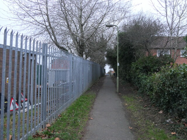
Image: © Richard Webb Taken: 21 Dec 2021
Postwar expansion Ludlow into land once part of Riddings Farm off Rock Lane (now known as Riddings Road here). The path is between houses and the old Midland Electricity Board depot and training area. Part of the site is still used by an electricity company.
Images are licensed for reuse under creativecommons.org/licenses/by-sa/2.0
Image Location
Latitude
52.371042
Longitude
-2.70292