Alder Avenue
Introduction
The photograph on this page of Alder Avenue by Gerald England as part of the Geograph project.
The Geograph project started in 2005 with the aim of publishing, organising and preserving representative images for every square kilometre of Great Britain, Ireland and the Isle of Man.

There are currently over 7.5m images from over 14,400 individuals and you can help contribute to the project by visiting https://www.geograph.org.uk
Alder Avenue
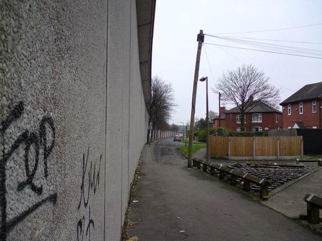
Image: © Gerald England Taken: 21 Dec 2021
When the M66 was built it cut through the Fern Grove and Topping Fold estates severing the links between the east and west sides.
Images are licensed for reuse under creativecommons.org/licenses/by-sa/2.0
Image Location
Latitude
53.597961
Longitude
-2.271791