Spink Well, Bradford
Introduction
The photograph on this page of Spink Well, Bradford by habiloid as part of the Geograph project.
The Geograph project started in 2005 with the aim of publishing, organising and preserving representative images for every square kilometre of Great Britain, Ireland and the Isle of Man.

There are currently over 7.5m images from over 14,400 individuals and you can help contribute to the project by visiting https://www.geograph.org.uk
Spink Well, Bradford
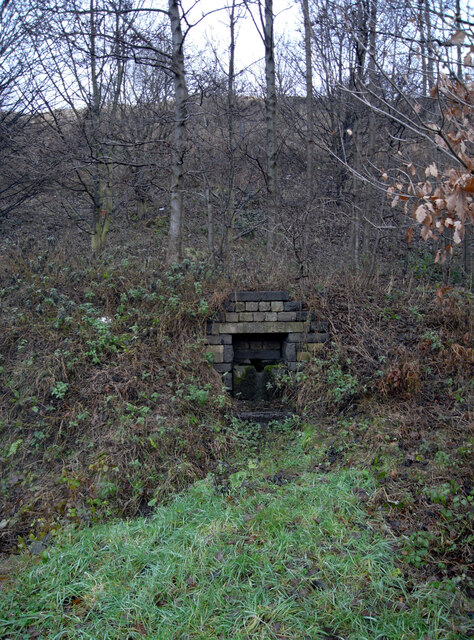
Image: © habiloid Taken: 25 Dec 2007
This old well gave its name to the Spinkwell Locks on the now defunct Bradford Canal. The link path from Bradford to the Dales Way now passes it.
Images are licensed for reuse under creativecommons.org/licenses/by-sa/2.0
Image Location
Latitude
53.805099
Longitude
-1.751547