Old Milestone, B3139, Constitution Hill, between Dulcote & Wells
Introduction
The photograph on this page of Old Milestone, B3139, Constitution Hill, between Dulcote & Wells by Janet Dowding as part of the Geograph project.
The Geograph project started in 2005 with the aim of publishing, organising and preserving representative images for every square kilometre of Great Britain, Ireland and the Isle of Man.

There are currently over 7.5m images from over 14,400 individuals and you can help contribute to the project by visiting https://www.geograph.org.uk
Old Milestone, B3139, Constitution Hill, between Dulcote & Wells
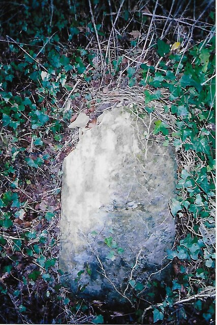
Image: © Janet Dowding Taken: 9 Feb 2008
The milestone is set into a high bank on the south side of the road. Parish of St Cuthbert Out (Mendip district). Stone post (plate lost), Wells iron plate design, erected by the Wells turnpike trust in the 19th century. Inscription once read:- WELLS / I Milestone Society National ID: SO_SMWL04
Images are licensed for reuse under creativecommons.org/licenses/by-sa/2.0
Image Location


Leaflet Map data © OpenStreetMap
Latitude
51.205214
Longitude
-2.629626