Emerging crop on the edge of Inkersall Green
Introduction
The photograph on this page of Emerging crop on the edge of Inkersall Green by Bill Boaden as part of the Geograph project.
The Geograph project started in 2005 with the aim of publishing, organising and preserving representative images for every square kilometre of Great Britain, Ireland and the Isle of Man.

There are currently over 7.5m images from over 14,400 individuals and you can help contribute to the project by visiting https://www.geograph.org.uk
Emerging crop on the edge of Inkersall Green
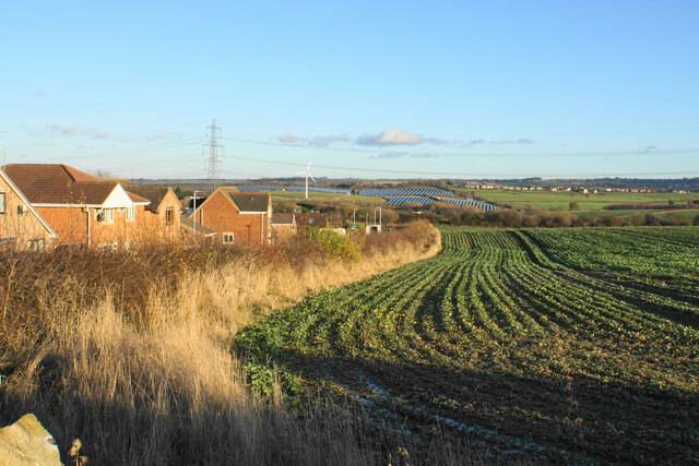
Image: © Bill Boaden Taken: 15 Dec 2021
This is as far as the expansion of Staveley has got so far in this direction. On the hillside ahead is a solar farm near Duckmanton.
Images are licensed for reuse under creativecommons.org/licenses/by-sa/2.0
Image Location
Latitude
53.245427
Longitude
-1.370266