Path by Trough Brook
Introduction
The photograph on this page of Path by Trough Brook by Bill Boaden as part of the Geograph project.
The Geograph project started in 2005 with the aim of publishing, organising and preserving representative images for every square kilometre of Great Britain, Ireland and the Isle of Man.

There are currently over 7.5m images from over 14,400 individuals and you can help contribute to the project by visiting https://www.geograph.org.uk
Path by Trough Brook
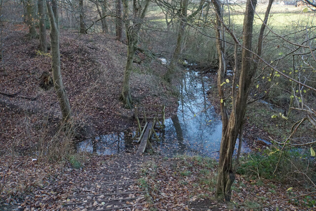
Image: © Bill Boaden Taken: 15 Dec 2021
The path crosses a tributary of Trough Brook. There is a plank missing at the far end of the footbridge but it is possible to take a big step across.
Images are licensed for reuse under creativecommons.org/licenses/by-sa/2.0
Image Location
Latitude
53.25247
Longitude
-1.376308