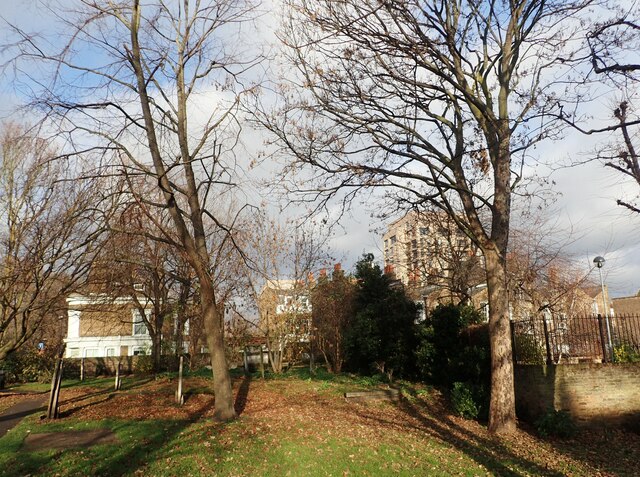
Former Stepney Meeting Burial Ground, White Horse Road
Introduction
The photograph on this page of Former Stepney Meeting Burial Ground, White Horse Road by Marathon as part of the Geograph project.
The Geograph project started in 2005 with the aim of publishing, organising and preserving representative images for every square kilometre of Great Britain, Ireland and the Isle of Man.
There are currently over 7.5m images from over 14,400 individuals and you can help contribute to the project by visiting https://www.geograph.org.uk

Image: © Marathon Taken: 14 Dec 2021
Most of this site was formerly a non-conformist burial ground belonging to a church known as Stepney Meeting. In the 17th Century, Stepney was a stronghold of Puritanism and supported Parliament in the Civil War. Stepney meeting was founded in 1644 by a group of Puritans called Independents. It was the first Independent church in East London. The first Stepney Meeting House was built in 1674, near the corner of what is now Stepney Way and Garden Street. The meeting house was re-built in 1863 but destroyed in the Second World War. All that remains are a few ruined walls, surrounded by what is now Stepney City Farm. Stepney Meeting opened this burial ground in 1779, and the first interment took place in 1790. Almshouses for eight women were also built on a site to the east of the footpath. In 1785 Stepney Meeting also built a small charity school between the almshouses and Salmon Lane. The burial ground was closed in 1853 by Order in Council. The 1870 map shows the disused burial ground, the almshouses and the former school on the corner of White Horse Road and Salmon Lane. These buildings were all bombed in the Second World War. In 1972 Stepney Meeting amalgamated with John Knox Church in Stepney Way near the junction with Jubilee Street. This is now called the Stepney meeting House United Reformed Church. The former Stepney Meeting burial ground is one of many non-conformist burial grounds in Tower Hamlets and it reflects the history of dissent in this part of East London. The burial ground is entered from either White Horse Road or Salmon Lane. There is a very good information board by the latter entrance which can be seen at https://www.geograph.org.uk/photo/6293745 This peaceful spot has a number of monuments, including the lozenge shaped graves of the type made famous by Charles Dickens in Great Expectations.

