Lee and Stort Navigation: Lock no 5 - Sawbridgeworth Lock
Introduction
The photograph on this page of Lee and Stort Navigation: Lock no 5 - Sawbridgeworth Lock by Peter S as part of the Geograph project.
The Geograph project started in 2005 with the aim of publishing, organising and preserving representative images for every square kilometre of Great Britain, Ireland and the Isle of Man.

There are currently over 7.5m images from over 14,400 individuals and you can help contribute to the project by visiting https://www.geograph.org.uk
Lee and Stort Navigation: Lock no 5 - Sawbridgeworth Lock
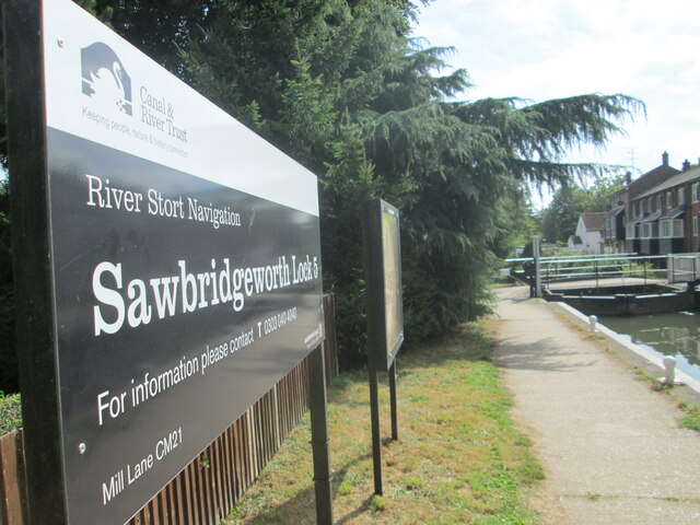
Image: © Peter S Taken: 23 Sep 2016
The route passes under a railway bridge (Kecksy's Bridge) and Sawbridgeworth is 3/4 of a mile from here as a sign indicates while Bishop's Stortford is 3 miles the other way. Despite its proximity to a town, this is another pretty lock, especially the view looking back at it from downstream.
Images are licensed for reuse under creativecommons.org/licenses/by-sa/2.0
Image Location
Latitude
51.815941
Longitude
0.154843