D1798 takes empties down the Thames Haven branch, 1969
Introduction
The photograph on this page of D1798 takes empties down the Thames Haven branch, 1969 by Robin Webster as part of the Geograph project.
The Geograph project started in 2005 with the aim of publishing, organising and preserving representative images for every square kilometre of Great Britain, Ireland and the Isle of Man.

There are currently over 7.5m images from over 14,400 individuals and you can help contribute to the project by visiting https://www.geograph.org.uk
D1798 takes empties down the Thames Haven branch, 1969
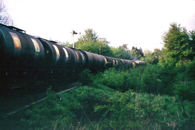
Image: © Robin Webster Taken: Unknown
This is on the original tight curve off the main line, this has been replaced with an easier radius curve. A view from the sewage works crossing, as then.
Images are licensed for reuse under creativecommons.org/licenses/by-sa/2.0
Image Location
Latitude
51.508831
Longitude
0.426965