Road to Polzeath
Introduction
The photograph on this page of Road to Polzeath by Derek Harper as part of the Geograph project.
The Geograph project started in 2005 with the aim of publishing, organising and preserving representative images for every square kilometre of Great Britain, Ireland and the Isle of Man.

There are currently over 7.5m images from over 14,400 individuals and you can help contribute to the project by visiting https://www.geograph.org.uk
Road to Polzeath
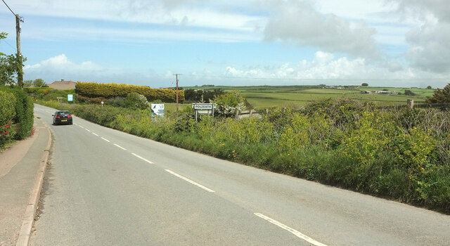
Image: © Derek Harper Taken: 18 May 2021
Just a little further along the road shown in Image], with the sign for Polzeath visible in both.
Images are licensed for reuse under creativecommons.org/licenses/by-sa/2.0
Image Location
Latitude
50.568325
Longitude
-4.91699