Dunstan View
Introduction
The photograph on this page of Dunstan View by Ian Capper as part of the Geograph project.
The Geograph project started in 2005 with the aim of publishing, organising and preserving representative images for every square kilometre of Great Britain, Ireland and the Isle of Man.

There are currently over 7.5m images from over 14,400 individuals and you can help contribute to the project by visiting https://www.geograph.org.uk
Dunstan View
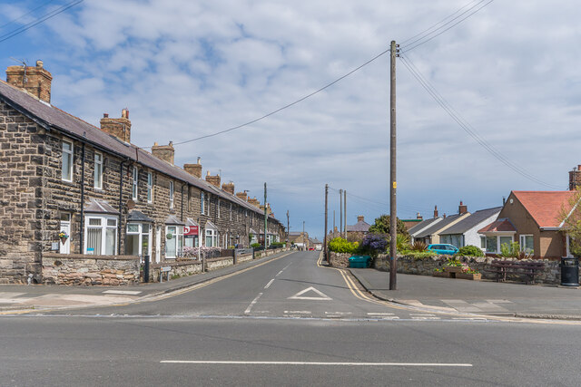
Image: © Ian Capper Taken: 28 May 2021
Terrace of houses on a street marked with this end undeveloped on the 1897 25 inch map and with this with this terrace shown on the 1924 edition. Both maps show the street as North Street, the name Dunstan View seeming to be more recent, with the name North Street now only applying to the far section of the road. The bungalows on the right hand side are more modern, dating from the second half of the 20th Century.
Images are licensed for reuse under creativecommons.org/licenses/by-sa/2.0
Image Location
Latitude
55.580108
Longitude
-1.652851