Waring House
Introduction
The photograph on this page of Waring House by Neil Owen as part of the Geograph project.
The Geograph project started in 2005 with the aim of publishing, organising and preserving representative images for every square kilometre of Great Britain, Ireland and the Isle of Man.

There are currently over 7.5m images from over 14,400 individuals and you can help contribute to the project by visiting https://www.geograph.org.uk
Waring House
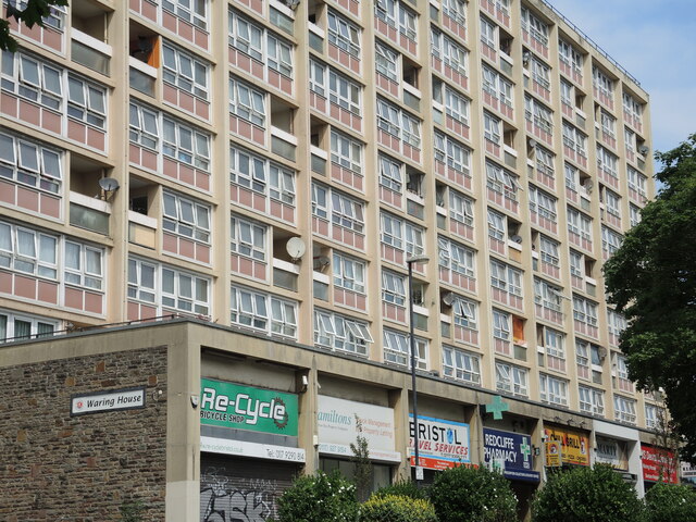
Image: © Neil Owen Taken: 23 Jul 2021
The 60s high-rise block also came with a row of ground level shops. The inclusion of some open balcony areas also came in handy for satellite dishes.
Images are licensed for reuse under creativecommons.org/licenses/by-sa/2.0
Image Location
Latitude
51.446393
Longitude
-2.591641