Front of former electricity board house
Introduction
The photograph on this page of Front of former electricity board house by Stephen Craven as part of the Geograph project.
The Geograph project started in 2005 with the aim of publishing, organising and preserving representative images for every square kilometre of Great Britain, Ireland and the Isle of Man.

There are currently over 7.5m images from over 14,400 individuals and you can help contribute to the project by visiting https://www.geograph.org.uk
Front of former electricity board house
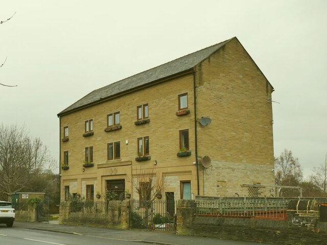
Image: © Stephen Craven Taken: 11 Dec 2021
The house fronts onto Wilmer Road, see Image for the rear, and is dated 1939. The upper storeys appear to be a later addition.
Images are licensed for reuse under creativecommons.org/licenses/by-sa/2.0
Image Location
Latitude
53.812166
Longitude
-1.780512