Underneath Bletchley Flyover
Introduction
The photograph on this page of Underneath Bletchley Flyover by Bob Walters as part of the Geograph project.
The Geograph project started in 2005 with the aim of publishing, organising and preserving representative images for every square kilometre of Great Britain, Ireland and the Isle of Man.

There are currently over 7.5m images from over 14,400 individuals and you can help contribute to the project by visiting https://www.geograph.org.uk
Underneath Bletchley Flyover
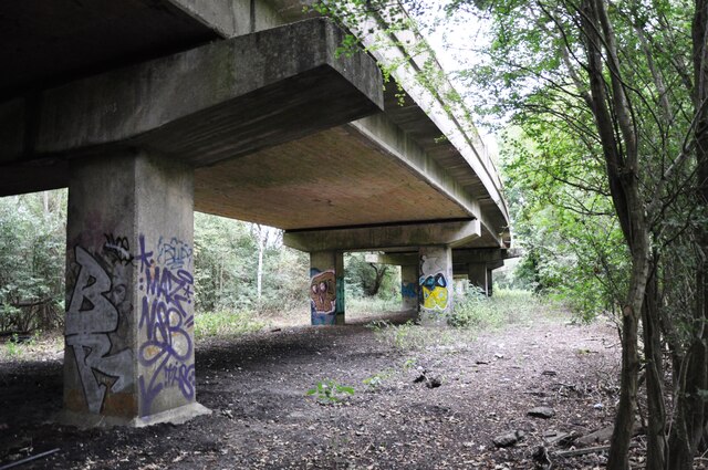
Image: © Bob Walters Taken: 18 Aug 2018
Looking underneath Bletchley Flyover before refurbishment works began. This view is from the old trackbed of the line into Bletchley Station before the flyover was built in 1959.
Images are licensed for reuse under creativecommons.org/licenses/by-sa/2.0
Image Location
Latitude
51.989861
Longitude
-0.738353