Twitchell in Lady Bay
Introduction
The photograph on this page of Twitchell in Lady Bay by Alan Murray-Rust as part of the Geograph project.
The Geograph project started in 2005 with the aim of publishing, organising and preserving representative images for every square kilometre of Great Britain, Ireland and the Isle of Man.

There are currently over 7.5m images from over 14,400 individuals and you can help contribute to the project by visiting https://www.geograph.org.uk
Twitchell in Lady Bay
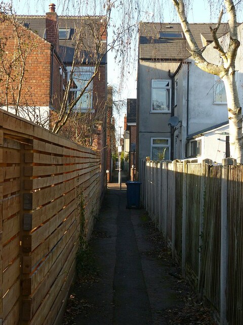
Image: © Alan Murray-Rust Taken: 10 Dec 2021
Running across the road grid between Seymour Road and Mona Road. (Twitchell is a local name for alleyways like this.)
Images are licensed for reuse under creativecommons.org/licenses/by-sa/2.0
Image Location
Latitude
52.93655
Longitude
-1.114971