Farmland to the northeast of Laidlawstiel Hill
Introduction
The photograph on this page of Farmland to the northeast of Laidlawstiel Hill by Walter Baxter as part of the Geograph project.
The Geograph project started in 2005 with the aim of publishing, organising and preserving representative images for every square kilometre of Great Britain, Ireland and the Isle of Man.

There are currently over 7.5m images from over 14,400 individuals and you can help contribute to the project by visiting https://www.geograph.org.uk
Farmland to the northeast of Laidlawstiel Hill
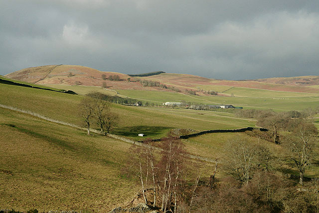
Image: © Walter Baxter Taken: 24 Feb 2008
Viewed in February with Laidlawstiel Farm in the background. The hill on the far left is Cauld Face.
Images are licensed for reuse under creativecommons.org/licenses/by-sa/2.0
Image Location


Leaflet Map data © OpenStreetMap
Latitude
55.624702
Longitude
-2.901171