Oliver Road at the junction of Lyttelton Road
Introduction
The photograph on this page of Oliver Road at the junction of Lyttelton Road by David Howard as part of the Geograph project.
The Geograph project started in 2005 with the aim of publishing, organising and preserving representative images for every square kilometre of Great Britain, Ireland and the Isle of Man.

There are currently over 7.5m images from over 14,400 individuals and you can help contribute to the project by visiting https://www.geograph.org.uk
Oliver Road at the junction of Lyttelton Road
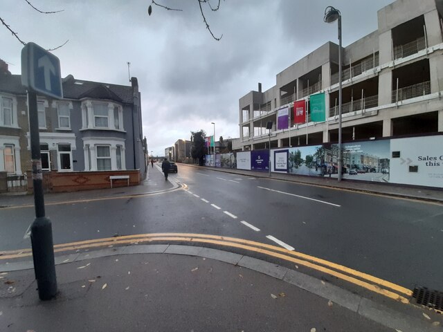
Image: © David Howard Taken: 5 Dec 2021
Sad to see the small park on the right has now been built on. There is little enough green space in east London without taking more away.
Images are licensed for reuse under creativecommons.org/licenses/by-sa/2.0
Image Location
Latitude
51.558375
Longitude
-0.012297