High Legh Tennis Club
Introduction
The photograph on this page of High Legh Tennis Club by Trevor Harris as part of the Geograph project.
The Geograph project started in 2005 with the aim of publishing, organising and preserving representative images for every square kilometre of Great Britain, Ireland and the Isle of Man.

There are currently over 7.5m images from over 14,400 individuals and you can help contribute to the project by visiting https://www.geograph.org.uk
High Legh Tennis Club
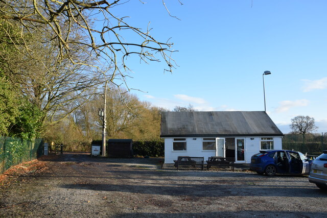
Image: © Trevor Harris Taken: 27 Nov 2021
Car park and clubhouse. The club's three courts are to the right of this shot.
Images are licensed for reuse under creativecommons.org/licenses/by-sa/2.0
Image Location
Latitude
53.352596
Longitude
-2.468081