Tankard Inn, Rufforth
Introduction
The photograph on this page of Tankard Inn, Rufforth by Gordon Hatton as part of the Geograph project.
The Geograph project started in 2005 with the aim of publishing, organising and preserving representative images for every square kilometre of Great Britain, Ireland and the Isle of Man.

There are currently over 7.5m images from over 14,400 individuals and you can help contribute to the project by visiting https://www.geograph.org.uk
Tankard Inn, Rufforth
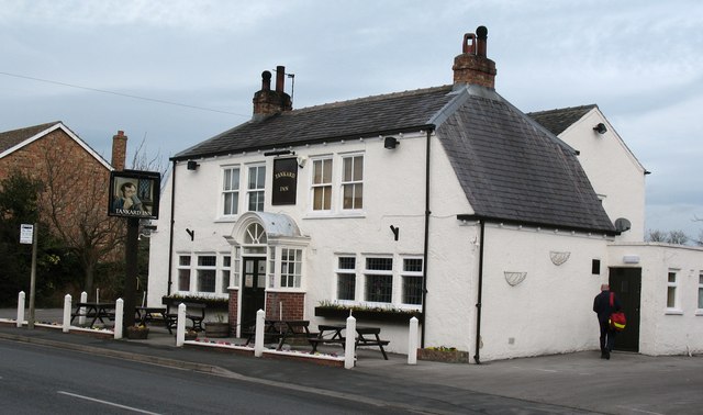
Image: © Gordon Hatton Taken: 25 Feb 2008
The inn appears to straddle the 53 grid line, which quite possibly passes through the lounge bar. However, most of the building is within the square. One assumes the pub is a free house as there is no brewery advertised.
Images are licensed for reuse under creativecommons.org/licenses/by-sa/2.0
Image Location
Latitude
53.955445
Longitude
-1.193665