Heap Lane, Bradford
Introduction
The photograph on this page of Heap Lane, Bradford by Stephen Armstrong as part of the Geograph project.
The Geograph project started in 2005 with the aim of publishing, organising and preserving representative images for every square kilometre of Great Britain, Ireland and the Isle of Man.

There are currently over 7.5m images from over 14,400 individuals and you can help contribute to the project by visiting https://www.geograph.org.uk
Heap Lane, Bradford
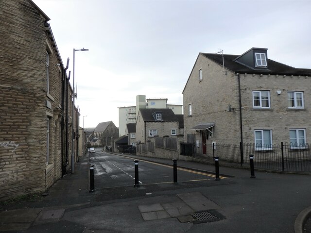
Image: © Stephen Armstrong Taken: 30 Nov 2021
Things have changed a bit since my very first Geograph image from August 2005 Image Cumberland House was demolished in 2009, Ruth House was externally refurbished in 2010 and St. Mary's Church, although the building is still there, has not been a church since 2006 - it is now a banqueting hall.
Images are licensed for reuse under creativecommons.org/licenses/by-sa/2.0
Image Location
Latitude
53.79807
Longitude
-1.742631