2008 : West from Ladbrook Lane Bridge near Corsham
Introduction
The photograph on this page of 2008 : West from Ladbrook Lane Bridge near Corsham by Maurice Pullin as part of the Geograph project.
The Geograph project started in 2005 with the aim of publishing, organising and preserving representative images for every square kilometre of Great Britain, Ireland and the Isle of Man.

There are currently over 7.5m images from over 14,400 individuals and you can help contribute to the project by visiting https://www.geograph.org.uk
2008 : West from Ladbrook Lane Bridge near Corsham
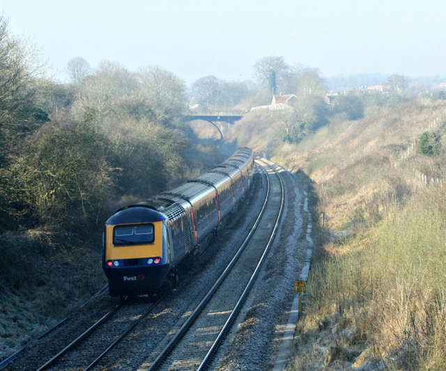
Image: © Maurice Pullin Taken: 17 Feb 2008
A gentleman passing told me the next bridge, in sight here, is the highest in elevation on the Bristol to Paddington line.
Images are licensed for reuse under creativecommons.org/licenses/by-sa/2.0
Image Location


Leaflet Map data © OpenStreetMap
Latitude
51.427167
Longitude
-2.173988