Quaintways
Introduction
The photograph on this page of Quaintways by Eirian Evans as part of the Geograph project.
The Geograph project started in 2005 with the aim of publishing, organising and preserving representative images for every square kilometre of Great Britain, Ireland and the Isle of Man.

There are currently over 7.5m images from over 14,400 individuals and you can help contribute to the project by visiting https://www.geograph.org.uk
Quaintways
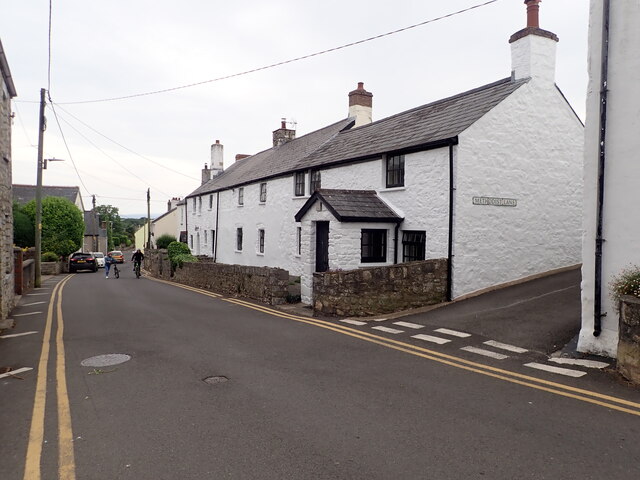
Image: © Eirian Evans Taken: 24 Jun 2021
At the corner of Colhugh Street and Methodist Lane. This old stone house is Grade II listed and dates from C17
Images are licensed for reuse under creativecommons.org/licenses/by-sa/2.0
Image Location
Latitude
51.406467
Longitude
-3.484962