Path by the Chantry School (Martley)
Introduction
The photograph on this page of Path by the Chantry School (Martley) by Fabian Musto as part of the Geograph project.
The Geograph project started in 2005 with the aim of publishing, organising and preserving representative images for every square kilometre of Great Britain, Ireland and the Isle of Man.

There are currently over 7.5m images from over 14,400 individuals and you can help contribute to the project by visiting https://www.geograph.org.uk
Path by the Chantry School (Martley)
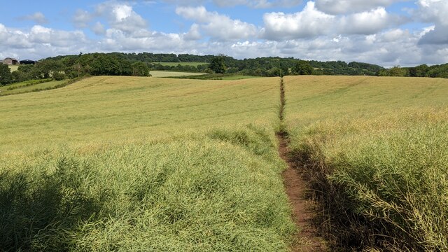
Image: © Fabian Musto Taken: 5 Jul 2021
There are two public footpaths at the north-west corner of the Chantry School, and this one goes to the B4197 road. I didn't take this path since this goes off track from the six ½ mile Martley circular walk.
Images are licensed for reuse under creativecommons.org/licenses/by-sa/2.0
Image Location
Latitude
52.238812
Longitude
-2.35903