Clearing, Alexandria Park
Introduction
The photograph on this page of Clearing, Alexandria Park by BHelas as part of the Geograph project.
The Geograph project started in 2005 with the aim of publishing, organising and preserving representative images for every square kilometre of Great Britain, Ireland and the Isle of Man.

There are currently over 7.5m images from over 14,400 individuals and you can help contribute to the project by visiting https://www.geograph.org.uk
Clearing, Alexandria Park
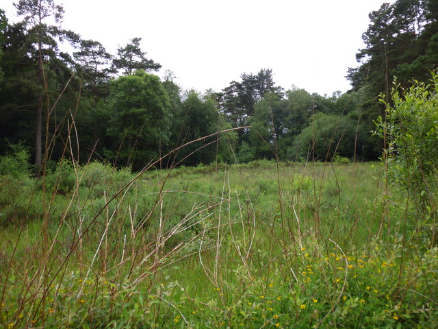
Image: © BHelas Taken: 30 Jun 2016
Clearing in Alexandria Park (Bordon Inclosure) which is managed by Deadwater Valley Trust. Photo taken from footpath which runs east-west across the middle of the clearing, from near the Rifle Wall. The trees at the far end are located by the allotments on Savile Crescent.
Images are licensed for reuse under creativecommons.org/licenses/by-sa/2.0
Image Location
Latitude
51.113301
Longitude
-0.857801