Alexandra Park Rifle Wall
Introduction
The photograph on this page of Alexandra Park Rifle Wall by BHelas as part of the Geograph project.
The Geograph project started in 2005 with the aim of publishing, organising and preserving representative images for every square kilometre of Great Britain, Ireland and the Isle of Man.

There are currently over 7.5m images from over 14,400 individuals and you can help contribute to the project by visiting https://www.geograph.org.uk
Alexandra Park Rifle Wall
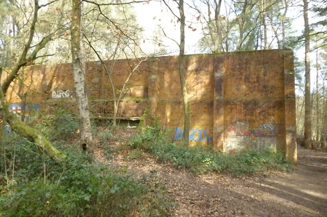
Image: © BHelas Taken: 15 Mar 2016
Rifle Wall in Alexandra Park/Bordon Inclosure nature reserve. Easily accessible from Savile Crescent. Previously used by the Army. A small pond is located on the other side.
Images are licensed for reuse under creativecommons.org/licenses/by-sa/2.0
Image Location
Latitude
51.113308
Longitude
-0.858515