Pen y Lan towards the junction with Chain Lane
Introduction
The photograph on this page of Pen y Lan towards the junction with Chain Lane by Eric Marsh as part of the Geograph project.
The Geograph project started in 2005 with the aim of publishing, organising and preserving representative images for every square kilometre of Great Britain, Ireland and the Isle of Man.

There are currently over 7.5m images from over 14,400 individuals and you can help contribute to the project by visiting https://www.geograph.org.uk
Pen y Lan towards the junction with Chain Lane
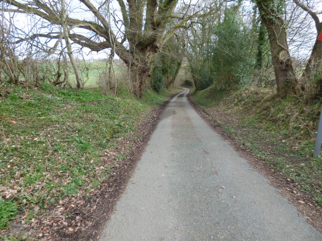
Image: © Eric Marsh Taken: 22 Mar 2021
The lane follows one of the feeder streams up to Chain lane.
Images are licensed for reuse under creativecommons.org/licenses/by-sa/2.0
Image Location
Latitude
52.845238
Longitude
-3.077596