Middle Brunton East Farm
Introduction
The photograph on this page of Middle Brunton East Farm by Weston Beggard as part of the Geograph project.
The Geograph project started in 2005 with the aim of publishing, organising and preserving representative images for every square kilometre of Great Britain, Ireland and the Isle of Man.

There are currently over 7.5m images from over 14,400 individuals and you can help contribute to the project by visiting https://www.geograph.org.uk
Middle Brunton East Farm
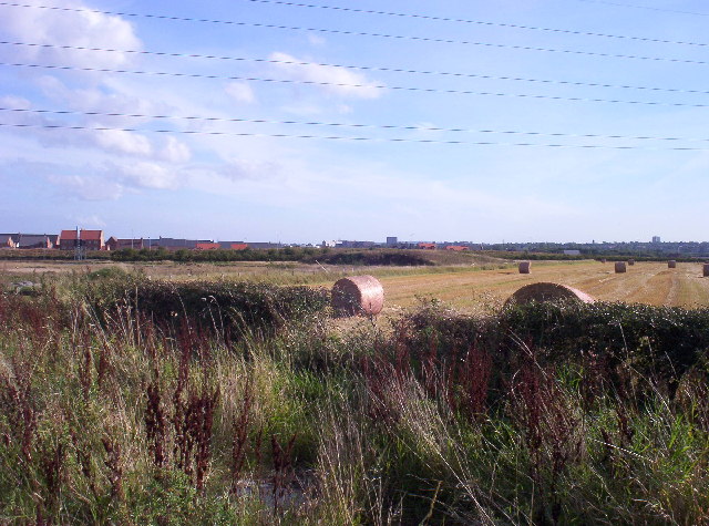
Image: © Weston Beggard Taken: 24 Sep 2005
View of land at Middle Brunton East Farm, from Brunton Lane looking south towards Newcastle. The houses at the left hand side are part of the new Great Park development.
Images are licensed for reuse under creativecommons.org/licenses/by-sa/2.0
Image Location


Leaflet Map data © OpenStreetMap
Latitude
55.028479
Longitude
-1.633916