The Lines/Kirklees Trail, Tottington
Introduction
The photograph on this page of The Lines/Kirklees Trail, Tottington by David Dixon as part of the Geograph project.
The Geograph project started in 2005 with the aim of publishing, organising and preserving representative images for every square kilometre of Great Britain, Ireland and the Isle of Man.

There are currently over 7.5m images from over 14,400 individuals and you can help contribute to the project by visiting https://www.geograph.org.uk
The Lines/Kirklees Trail, Tottington
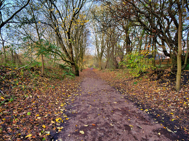
Image: © David Dixon Taken: 25 Nov 2021
The Bury–Holcombe Brook line was a 3¾-mile (6km) single-track railway line which ran between Bury Bolton Street railway station and Holcombe Brook railway station via seven intermediate stations. The section of the line from Greenmount to Bury town centre has been converted into a pedestrian and cycle route, the Kirklees Trail (also known as “the Lines”), forming part of National Cycle Route 6.
Images are licensed for reuse under creativecommons.org/licenses/by-sa/2.0
Image Location
Latitude
53.616401
Longitude
-2.336911