Looking along the Bowline
Introduction
The photograph on this page of Looking along the Bowline by Alec MacKinnon as part of the Geograph project.
The Geograph project started in 2005 with the aim of publishing, organising and preserving representative images for every square kilometre of Great Britain, Ireland and the Isle of Man.

There are currently over 7.5m images from over 14,400 individuals and you can help contribute to the project by visiting https://www.geograph.org.uk
Looking along the Bowline
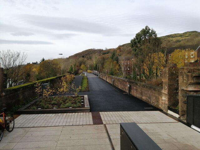
Image: © Alec MacKinnon Taken: 25 Nov 2021
This new walking and cycling path runs along a disused railway viaduct. From just above the cafe and cycle shop, the picture looks west along the Bowline.
Images are licensed for reuse under creativecommons.org/licenses/by-sa/2.0
Image Location
Latitude
55.930407
Longitude
-4.481663